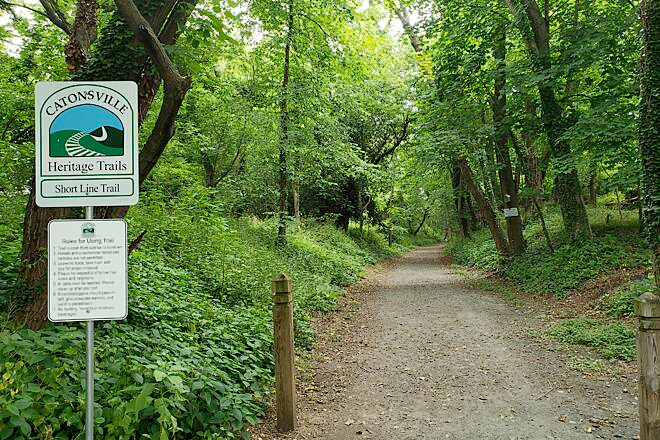
The Catonsville Shortline Trail
Catonsville Rails to Trails formed in 1998 and began building the Catonsville Short Line Trail within the Catonsville portion of the historic Short Line Railroad right-of-way in Baltimore County. The adjacent map displays completed sections in dark green, planned sections in light green, and sections in progress in red.

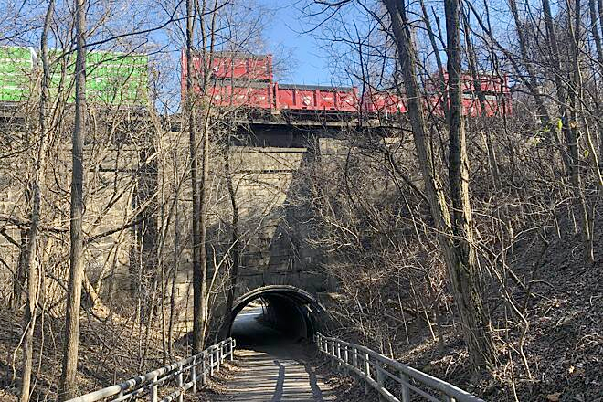
The current Catonsville Short Line Trail is a ~2.2-mile woodland trail with sections near downtown Catonsville, Spring Grove, 695, Paradise, and Beechfield.
CRTT plans to construct and maintain the full CSLT as a ~3 mile continuous trail from downtown Catonsville to S. Beechfield Ave.
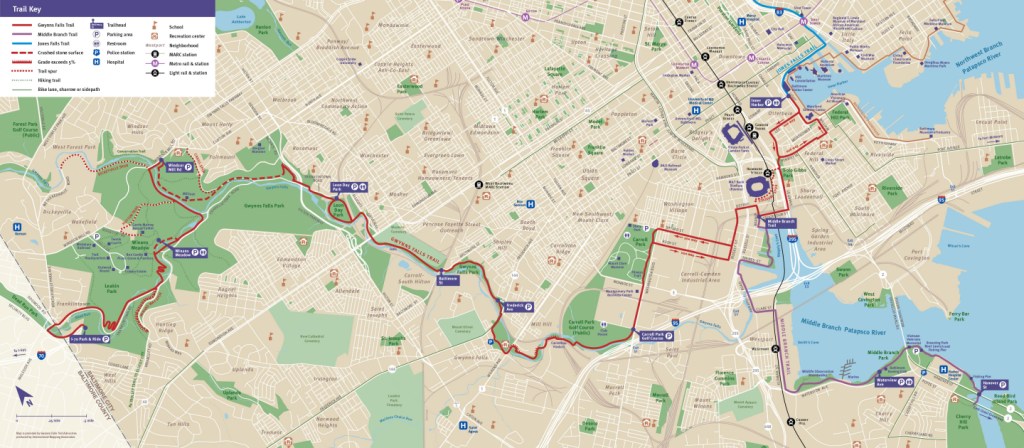
The Gwynns Falls Trail
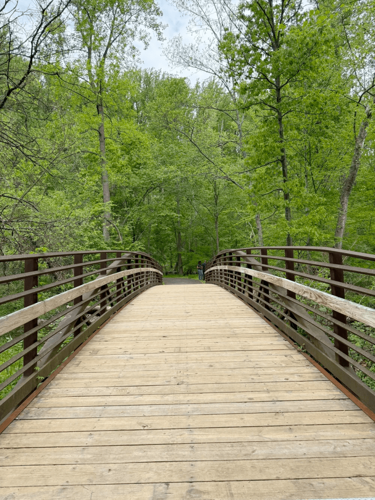
Beginning in the 1990s, Baltimore City, nonprofit organizations, and local residents began designing and building the Gwynns Falls Trail in western Baltimore City.
Today, the GFT is a ~22 mile trail network, including a ~11 mile mainline trail.
The trail connects dozens of west and southwest Baltimore neighborhoods with parks, historical and cultural landmarks, and the urban business district.
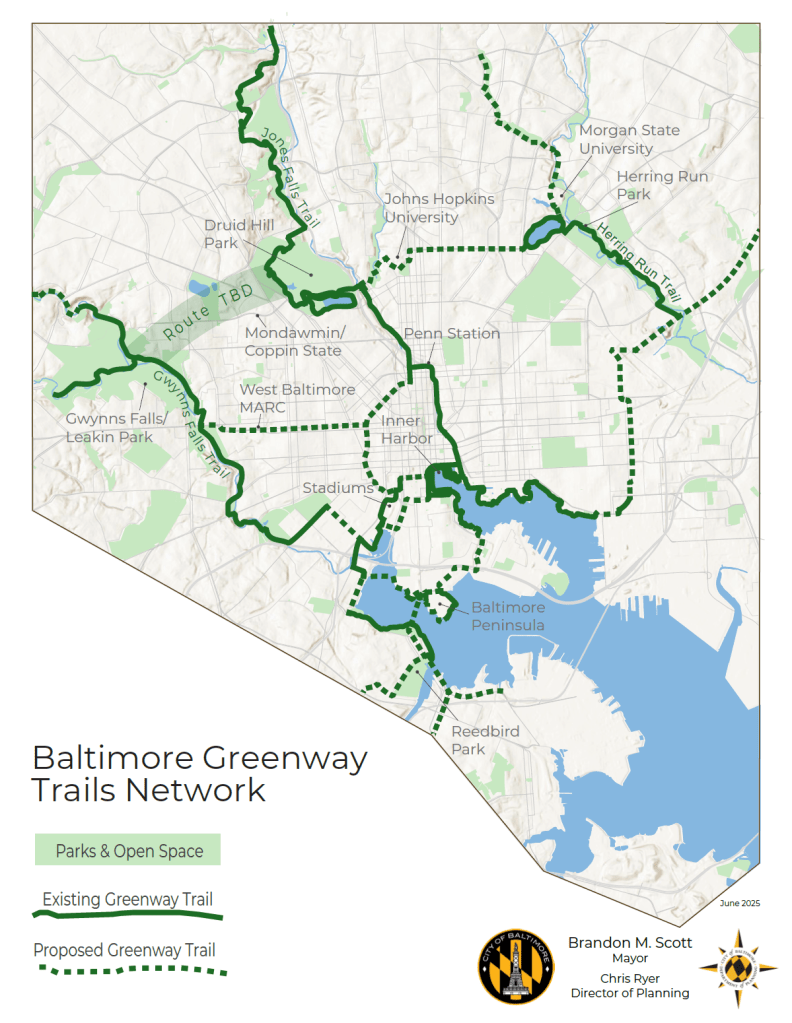
The Baltimore Greenway Network
The Gwynns Falls Trail is a key component of the Baltimore Greenway Trails Network, a partially constructed/proposed 35- mile system connecting communities, parks, businesses, and other locations across the city.
Many of our communities currently lack direct, safe walking/biking access to the Gwynns Falls Trail and the rest of the trail network.